Caballero Creek Park Got Its Completion Day. The River Path Beside It Got a Cheaper Design.
November 12, 2026
November 12, 2026
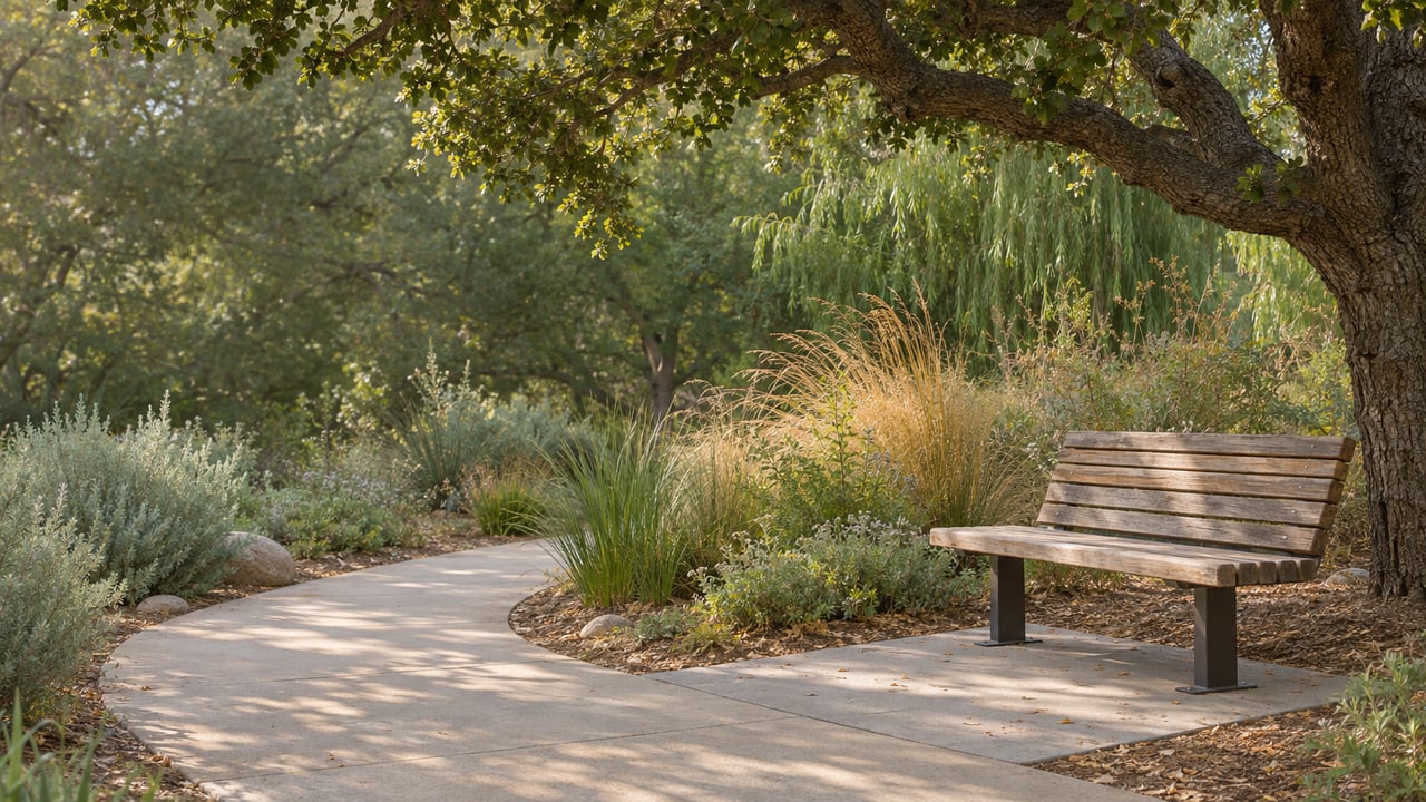
On Lindley Avenue just south of Victory Boulevard, a 1.5-acre asphalt lot has become a wetland park where Caballero Creek meets the Los Angeles River. The Mountains Recreation and Conservation Authority scheduled a "Celebration of Completion of Caballero Creek Wetlands Park" for Monday, November 9, at 8:30 a.m., according to the Climate Map LA events calendar. The park was planned from the start to sit beside a riverside bike and walking path. That path still ends about three miles upstream, at Vanalden Avenue.
This fall the 2.93-mile segment meant to close that gap became affordable for the first time. Getting there took a redesign, and the redesign changes what the path will look like where it meets Tarzana and Reseda streets. The park was finished first, and the path that gives it its location is now a different and cheaper project than the one people pictured at the 2024 groundbreaking.
The site's history explains why it was chosen. It sits at the confluence of the Los Angeles River and Caballero Creek, which the MRCA describes as the river's only tributary that starts in the Santa Monica Mountains. Streetsblog LA placed it near Lindley Avenue and Reseda Boulevard, just south of Reseda High School. Its May 2025 construction photos were taken from the Reseda Boulevard bridge, with the river on one side, the creek's concrete slot in the middle and the future park on the other. The county's facility locator lists the address as 6353 Lindley Ave and labels it Reseda, while the MRCA's groundbreaking release places it in Tarzana.
The final project scope filed with the state in April 2024 lists what a visitor will find inside the fence:
The engineering is what earned the "self-sustaining" label in the MRCA's August 2024 groundbreaking release. The park captures water from the site and the streets around it, then uses solar power to clean that water so it can irrigate the park. According to the MRCA's project page, it is designed to run on net-zero potable water and energy. Streetsblog's 2025 photos showed the pieces under construction: a sunken center that holds and cleans runoff from nearby streets, a cistern, and treatment wetlands with an overlook. Most of the lot's existing trees were kept.
The park also has a local teaching role. Councilmember Bob Blumenfield partnered with Reseda High School so students can use the space as an outdoor classroom. At the groundbreaking, Tarzana Neighborhood Council President Leonard Shaffer said one goal was "to have a place where residents of Tarzana, students from Reseda High School, and residents of surrounding communities can learn about water reclamation and conservation," as quoted in the MRCA release.
Small parks with this many partners rarely open on their first forecast date, and this one had several. The release lists the MRCA, the Department of Recreation and Parks, the Bureau of Sanitation, the General Services Department and Los Angeles County as partners. Blumenfield pulled together seven funding sources for a budget of about $5.5 million split among the city, the county and the state.
| When it was said | Source | Timing given |
|---|---|---|
| August 1, 2024 | MRCA groundbreaking release | "Around April of next year" |
| February 6, 2025 | Recreation and Parks Board report | Completion anticipated in 2025 |
| May 27, 2025 | Streetsblog LA | "Anticipated to open this summer" |
| Undated | MRCA project page update | "Will open Summer 2026" |
| November 9, 2026 | Climate Map LA listing | Celebration of completion, 8:30 a.m. |
A city report also sets out who takes over once the work is finished. The February 2025 Recreation and Parks Board report says the department assumes the grant-related maintenance and operating obligations only after the project is completed and accepted. Later operating costs are to be requested in future city budgets.
The groundbreaking release listed "access to the LA River bike paths" among the park's features, next to the fitness area and play space. A confluence park with a bike rack and a hydration station only fully makes sense with a path running past it.
The West Valley already has part of that path. A segment opened in 2014, and a 2022 extension from Owensmouth Avenue to Mason Avenue connected to it. Together they make a continuous route of just over three miles from Owensmouth to Vanalden Avenue, according to Streetsblog's coverage of the 2022 opening. East of Vanalden, the planned route on the Bureau of Engineering's project page follows the river's south bank to White Oak Avenue, then the north bank to Balboa Boulevard. Caballero Creek Park sits along that gap.
In May 2025, Streetsblog reported that the Vanalden-to-Balboa phase was designed and approved but had a serious money problem. Construction bids came in roughly $40 million over the project's funding. The park kept being built. The path stopped.
The way the city closed that $40 million gap determines what the eventual ride past the park will look like. The steps in 2026:
The September recommendation moves the segment from an unfunded design to a named contractor and a bid amount. A Board of Public Works recommendation is still one step short of a signed contract and a construction start.
The undercrossings were the costly part, and dropping them is what made the numbers work. Under the original design, path users would have passed beneath five of the north-south streets on this stretch. Under the approved scope, they will stop at a signal and cross with traffic. The one grade separation kept in the plan is under the Metro G Line busway.
For anyone who lives within a few blocks of Lindley, Reseda or the other crossings, the future path will meet the neighborhood at street corners. That makes it easier to join from the sidewalk, and every crossing will have a signal cycle. The planning around it is also getting bigger. Councilmember Nithya Raman's office says that in February 2026 it worked with an Urban Land Institute Los Angeles panel on a 12.4-mile continuous bike and pedestrian path along the river through the San Fernando Valley. The panel recommended delivering the full corridor at once instead of one segment at a time, and building the continuous path and its safety features first while adding other amenities over time, according to the Council District 4 page.
Until the Vanalden-to-Balboa segment is built, Caballero Creek Park is a park you reach by street. You arrive on Lindley Avenue, and the bike rack in the 2024 scope serves people who rode there on neighborhood roads.
Without a continuous path, the park works best as one stop on a short circuit of nearby green spaces. Each has its own entrance on a city street:
When the Vanalden-to-Balboa segment is finished, the river path will connect Caballero Creek Park to the existing West Valley path and run east to Balboa Boulevard. For now, the park on Lindley is the piece of that plan that has reached its completion day.
Projects like this one are often what neighbors ask about first, before they ask about prices. If you own a home near the river and want to know how the confluence and the future path figure into your home's value, Ellie Khani can walk you through it with a free home valuation built on what's happening on your own streets.
Stay up to date on the latest real estate trends.
Get assistance in determining current property value, crafting a competitive offer, writing and negotiating a contract, and much more. Contact me today.